Home > #POI-EN

ESPARROS

LE SIGNAL DE BASSIA

HikingStart : ESPARROS
Finish : ESPARROS

65130 - ESPARROSSee on map

Contact

05 62 39 00 46


Download the track


Slideshow


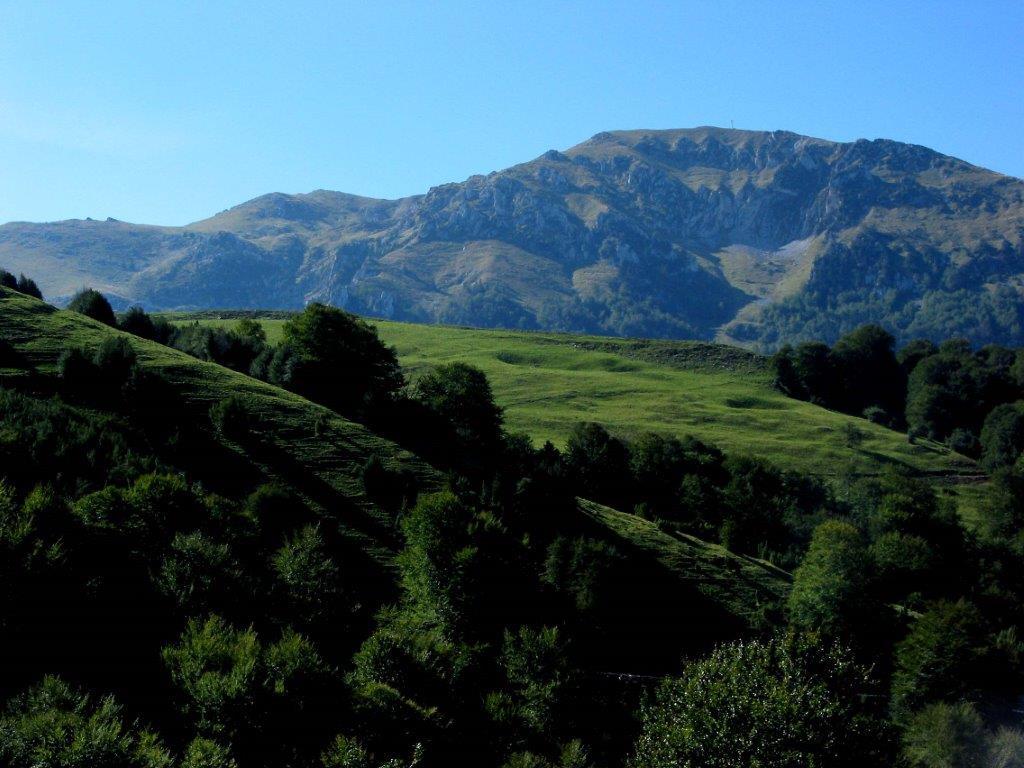
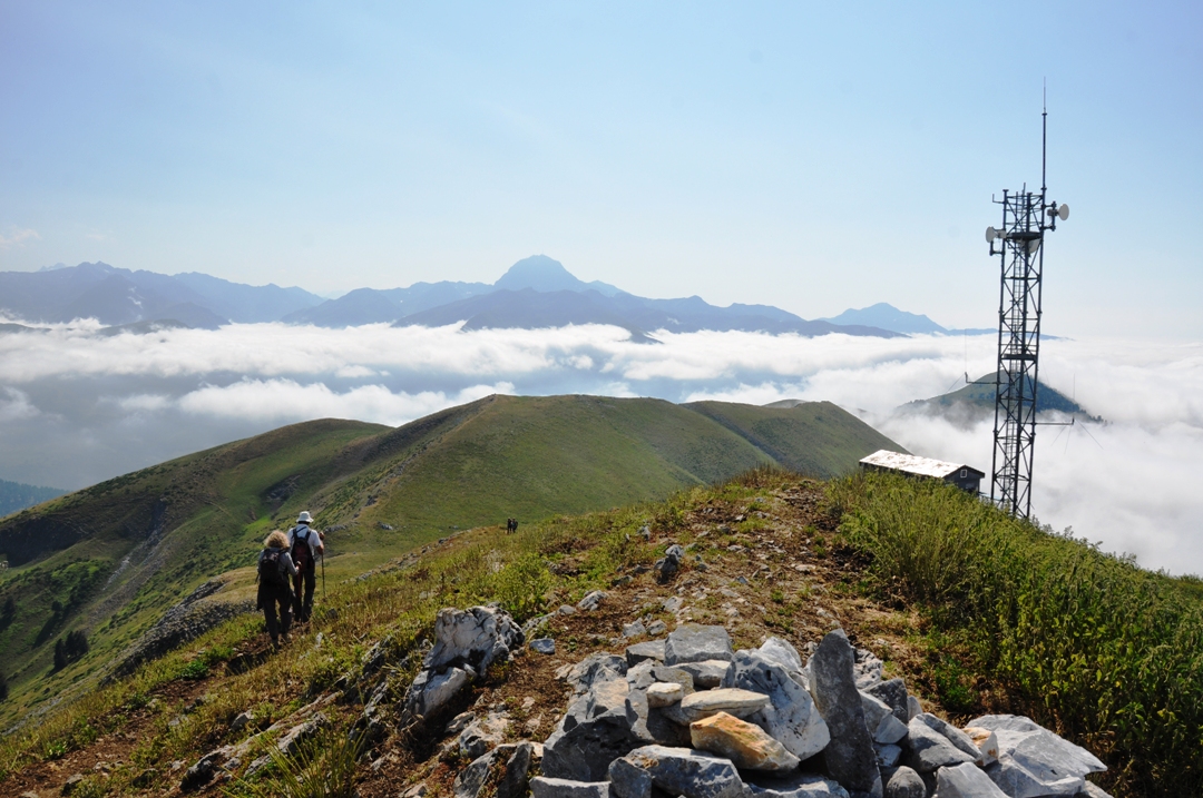
The Signal of the Bassia is the highest point of the Baronnies at 1921m altitude. In an advanced position north of the Pyrenees, it offers a magnificent panorama: the Baronnies Valley and the Lannemezan Plateau, the Aure Valley, the Arbizon, the Campan Valley, the Pic du Midi... To do in good weather to better enjoy it.
Careful, it’s a mid-mountain race. For the untrained, start your calves on foot hikes, in the heart of the Baronnies valley.

Remarks : Access: in Esparros, take the "Chemin des Bergers" at the corner of the Salle des Fêtes. After the Pla du Moula, continue right on the track until the "Col de Couradabat". Follow for 4km the track to the left to reach the "Col des Estrets" then the "Col de Oueil Luzent" (parking).

Recommendations : Itinerary not to be taken in fog, thunderstorm and winter conditions (between 3 and 4: cavities, karst area). Summer zone: dogs prohibited from 1 April to 15 November.
Characteristics

Elevation

684 meters

Distance

4.2 Km

Duration

Estimated time : 4H

Altitude

Min : 1237 meters Max : 1921 meters

Steps

1From the parking lot to the "Col de Oueil Luzent", take the forest track that descends to the south-west and follow it for 400 meters.
2Leave it to take the path that rises to the left in the forest. After a long journey of about 2km, it leads to the lawns of "Courtaou Tire–Mouréou" (1542m - hut, shelter possibility).
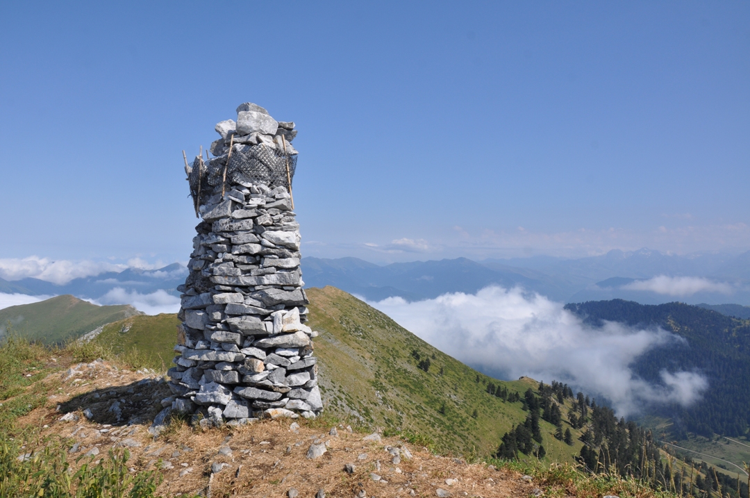
3Go up sharply to the left in the middle of the lawns, towards south-east (follow the markings, caution: rolling rocks and limestone wells) and reach a pass (1865m). Turn left and following the ridge, reach the top of the "Signal de Bassia" (1921m - cairn). Magnificent view of the high Pyrenean peaks.
4The return is by the same route.
Skip to content